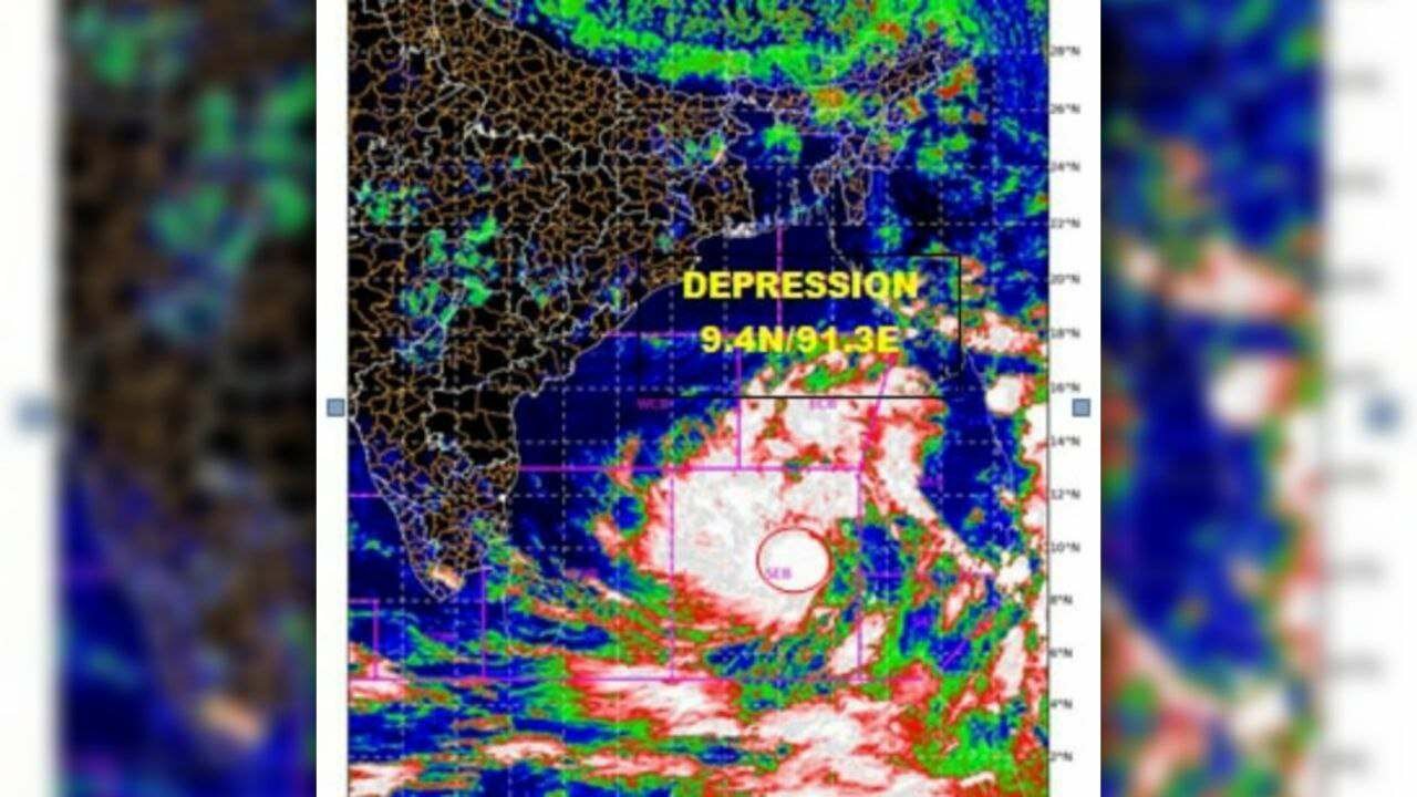
The cyclonic storm that is forming in the Bay of Bengal is unlikely to impact the coasts of Odisha or Andhra Pradesh because it is projected to re-curve and alter route after May 10 evening, according to Meteorological Department officials.
The well-marked low pressure region over Southeast Bay of Bengal and adjoining South Andaman Sea, according to Met authorities in Bhubaneswar, is very likely to move north-westwards and deepen into a depression over the next 3 hours, and then into a cyclone over east-central Bay of Bengal on May 8.
“It is quite expected to continue north-westwards until the evening of May 10th, reaching west-central and adjacent Northwest Bay of Bengal near the coastlines of north Andhra Pradesh and Odisha.” Following that, it is highly likely to re-curve north-northeastwards and travel towards the Northwest Bay of Bengal off the coast of Odisha,” according to IMD authorities.
Officials have stated that neither Odisha nor Andhra Pradesh will be affected. “The system will weaken in the sea after travelling north-northeastwards.” “It could be as strong as Cyclone Jawad, which formed over the Bay of Bengal in December last year but deteriorated into a deep depression and caused rainfall in Paradip,” said renowned scientist Uma Shankar Das.
Winds of 80-90 kmph with gusts up to 100 kmph are expected to dominate across the west-central and surrounding northwest and east-central Bay of Bengal on May 10, according to Met department authorities. Squalls with wind speeds of 40-50 km/h gusting to 60 km/h are expected over north Andhra Pradesh’s coastal regions. On May 11, gales of 70-80 kmph with gusts to 90 kmph are expected to sweep across the northwest and west-central Bay of Bengal. Squalls with wind speeds of 40-50 km/h gusting to 60 km/h are expected over Odisha’s coastal regions and adjacent coastal north Andhra Pradesh.